
苟鲁山克错 topographic map
Interactive map
Click on the map to display elevation.
About this map
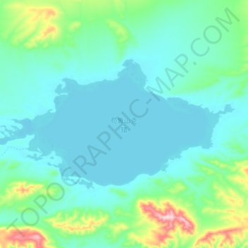
Name: 苟鲁山克错 topographic map, elevation, terrain.
Location: 苟鲁山克错, 索加乡, 治多县, 玉树藏族自治州, 青海省, 中国 (34.77002 92.12182 34.85134 92.31003)
Average elevation: 4,859 m
Minimum elevation: 4,803 m
Maximum elevation: 5,135 m
Other topographic maps
Click on a map to view its topography, its elevation and its terrain.