
Saint-Mard topographic map
Interactive map
Click on the map to display elevation.
About this map
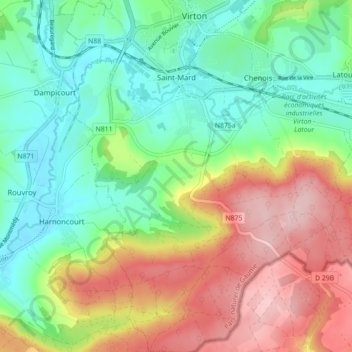
Name: Saint-Mard topographic map, elevation, terrain.
Location: Saint-Mard, Virton, Luxemburg, Wallonië, 6762, België (49.51300 5.50080 49.57021 5.56518)
Average elevation: 272 m
Minimum elevation: 189 m
Maximum elevation: 400 m
Other topographic maps
Click on a map to view its topography, its elevation and its terrain.