Geolocate

West Point topographic map

Click on the map to display elevation.

About this map

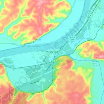
Name: West Point topographic map, elevation, terrain.

Location: West Point, Hardin County, Kentucky, 40177, United States (37.95861 -85.99179 38.03861 -85.91179)

Average elevation: 169 m

Minimum elevation: 121 m

Maximum elevation: 255 m

Gear up for your next adventure:

🧣Merino Neck Gaiters - Versatile headwear for warmth, sun protection, or dust filtering
🐍Australian Snake Bite Kits - Specific pressure immobilization bandages for Australian venomous snakes
🧼Biodegradable Outdoor Soap - Clean gear and yourself without harming the local ecosystem
🏫Topographic World Globes - 3D physical relief globes to understand global geography
🥤Hydration Packs - Hydration systems for hiking

As an Amazon Associate, this site earns from qualifying purchases at no extra cost to you.