
Tottori topographic map
Interactive map
Click on the map to display elevation.
About this map
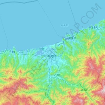
Name: Tottori topographic map, elevation, terrain.
Location: Tottori, Tottori Prefecture, Japan (35.27168 133.91173 35.74607 134.44077)
Average elevation: 245 m
Minimum elevation: -4 m
Maximum elevation: 1,468 m