
Cañada Grande topographic map
Interactive map
Click on the map to display elevation.
About this map
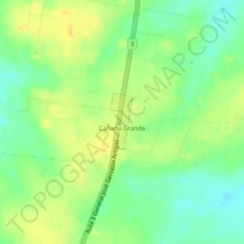
Name: Cañada Grande topographic map, elevation, terrain.
Location: Cañada Grande, San José, 80000, Uruguay (-34.47056 -56.75199 -34.46452 -56.74949)
Average elevation: 43 m
Minimum elevation: 29 m
Maximum elevation: 56 m