
Berridale topographic map
Interactive map
Click on the map to display elevation.
About this map
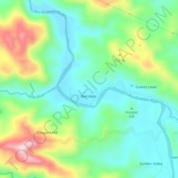
Name: Berridale topographic map, elevation, terrain.
Location: Berridale, Portland, Surrey County, +1876, Jamaica (18.12734 -76.49755 18.16734 -76.45755)
Average elevation: 120 m
Minimum elevation: 8 m
Maximum elevation: 357 m