
Atul topographic map
Interactive map
Click on the map to display elevation.
About this map
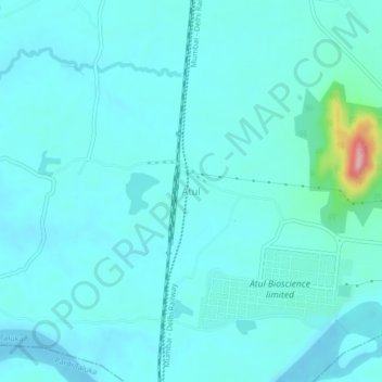
Name: Atul topographic map, elevation, terrain.
Location: Atul, Valsad Taluka, Valsad, Gujarat, 396145, Indien (20.52676 72.90947 20.56676 72.94947)
Average elevation: 20 m
Minimum elevation: -3 m
Maximum elevation: 167 m