
Kindee topographic map
Interactive map
Click on the map to display elevation.
About this map
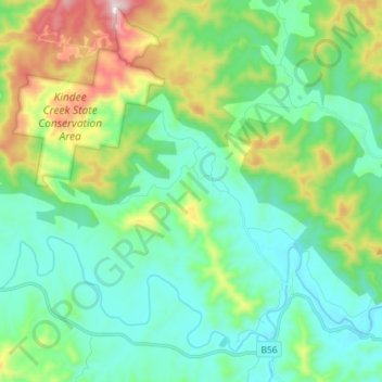
Name: Kindee topographic map, elevation, terrain.
Average elevation: 215 m
Minimum elevation: 34 m
Maximum elevation: 744 m
Other topographic maps
Click on a map to view its topography, its elevation and its terrain.
Kindee
Australia > New South Wales > Kindee
Kindee, Port Macquarie-Hastings Council, New South Wales, Australia
Average elevation: 187 m