
Roland topographic map
Interactive map
Click on the map to display elevation.
About this map
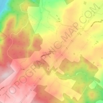
Name: Roland topographic map, elevation, terrain.
Location: Roland, Tasmania, Australia (-41.42932 146.21572 -41.38932 146.25572)
Average elevation: 357 m
Minimum elevation: 118 m
Maximum elevation: 505 m