
Polson topographic map
Interactive map
Click on the map to display elevation.
About this map
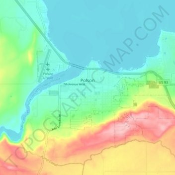
Name: Polson topographic map, elevation, terrain.
Location: Polson, Lake County, Montana, VS (47.66865 -114.18891 47.70765 -114.10253)
Average elevation: 929 m
Minimum elevation: 877 m
Maximum elevation: 1,044 m