
수정구 topographic map
Interactive map
Click on the map to display elevation.
About this map
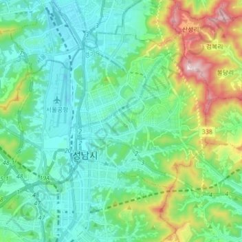
Name: 수정구 topographic map, elevation, terrain.
Location: 수정구, Seongnam, Gyeonggi, Corée du Sud (37.39527 127.04216 37.47478 127.17755)
Average elevation: 134 m
Minimum elevation: 9 m
Maximum elevation: 534 m
Other topographic maps
Click on a map to view its topography, its elevation and its terrain.