
Herperduin topographic map
Interactive map
Click on the map to display elevation.
About this map
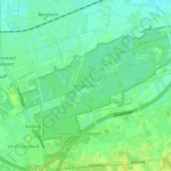
Name: Herperduin topographic map, elevation, terrain.
Location: Herperduin, Herpen, Oss, Noord-Brabant, Nederland (51.73759 5.56110 51.76880 5.63000)
Average elevation: 12 m
Minimum elevation: 5 m
Maximum elevation: 21 m
Other topographic maps
Click on a map to view its topography, its elevation and its terrain.
Kleine Koolwijk
Nederland > Noord-Brabant > Herpen
Kleine Koolwijk, Herpen, Oss, Noord-Brabant, Nederland, 5373 NZ, Nederland
Average elevation: 9 m