
Amați topographic map
Interactive map
Click on the map to display elevation.
About this map
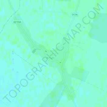
Name: Amați topographic map, elevation, terrain.
Location: Amați, Satu Mare, 447231, Romania (47.73312 22.90460 47.75349 22.92948)
Average elevation: 125 m
Minimum elevation: 122 m
Maximum elevation: 128 m
Other topographic maps
Click on a map to view its topography, its elevation and its terrain.