
Bouny topographic map
Interactive map
Click on the map to display elevation.
About this map
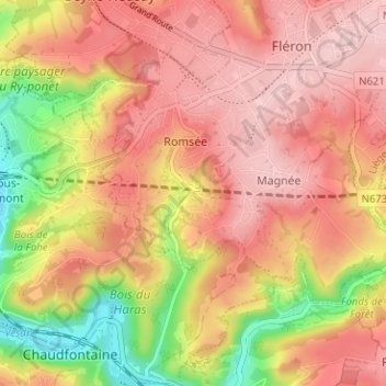
Name: Bouny topographic map, elevation, terrain.
Location: Bouny, Romsée, Fléron, Luik, Wallonië, 4620, België (50.58157 5.64703 50.62157 5.68703)
Average elevation: 197 m
Minimum elevation: 73 m
Maximum elevation: 270 m