
Thank you for supporting this site ❤️
Make a donation
Make a donation
Gear up for your next adventure:
As an Amazon Associate, this site earns from qualifying purchases at no extra cost to you.
Wauchope topographic map
Click on the map to display elevation.
Thank you for supporting this site ❤️
Make a donation
Make a donation
Gear up for your next adventure:
As an Amazon Associate, this site earns from qualifying purchases at no extra cost to you.
About this map
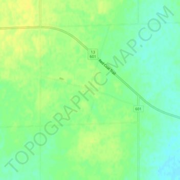
Name: Wauchope topographic map, elevation, terrain.
Location: Wauchope, Antler No. 61, Saskatchewan, Canada (49.58520 -101.91608 49.60520 -101.89608)
Average elevation: 621 m
Minimum elevation: 611 m
Maximum elevation: 630 m
Thank you for supporting this site ❤️
Make a donation
Make a donation
Gear up for your next adventure:
As an Amazon Associate, this site earns from qualifying purchases at no extra cost to you.