
Lat topographic map
Interactive map
Click on the map to display elevation.
About this map
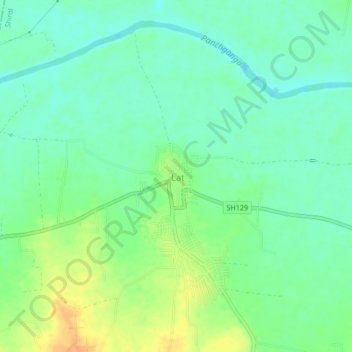
Name: Lat topographic map, elevation, terrain.
Location: Lat, Shirol, Kolhapur district, Maharashtra, 416143, Indien (16.64403 74.49264 16.68403 74.53264)
Average elevation: 542 m
Minimum elevation: 529 m
Maximum elevation: 565 m