
Kota Batu topographic map
Interactive map
Click on the map to display elevation.
About this map
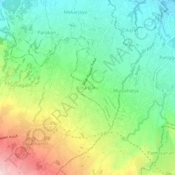
Name: Kota Batu topographic map, elevation, terrain.
Location: Kota Batu, West Java, 16610, Indonesia (-6.65481 106.75799 -6.61481 106.79799)
Average elevation: 365 m
Minimum elevation: 255 m
Maximum elevation: 561 m