
Førde topographic map
Interactive map
Click on the map to display elevation.
About this map
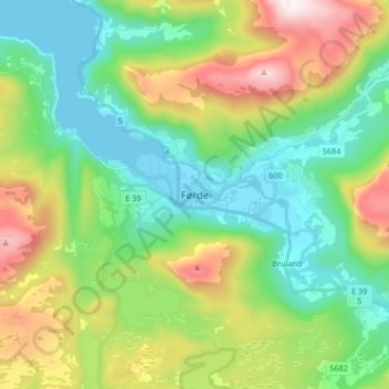
Name: Førde topographic map, elevation, terrain.
Location: Førde, Sunnfjord, Vestland, 6809, Norway (61.41213 5.81726 61.49213 5.89726)
Average elevation: 284 m
Minimum elevation: 0 m
Maximum elevation: 890 m