
Moran topographic map
Interactive map
Click on the map to display elevation.
About this map
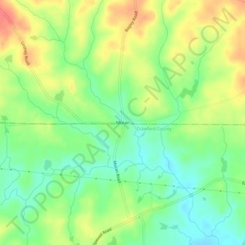
Name: Moran topographic map, elevation, terrain.
Location: Moran, Monroe County, Georgia, United States (32.82875 -83.95185 32.86875 -83.91185)
Average elevation: 145 m
Minimum elevation: 118 m
Maximum elevation: 179 m