
Botne topographic map
Click on the map to display elevation.
About this map
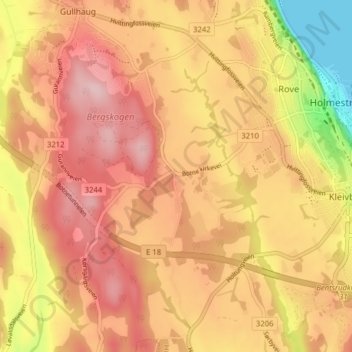
Name: Botne topographic map, elevation, terrain.
Location: Botne, Holmestrand, Vestfold og Telemark, 3085, Norway (59.46154 10.25846 59.50154 10.29846)
Average elevation: 121 m
Minimum elevation: 0 m
Maximum elevation: 191 m