
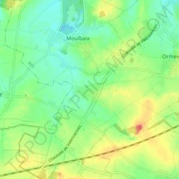
Autreppe topographic map
Interactive map
Click on the map to display elevation.
About this map
Name: Autreppe topographic map, elevation, terrain.
Location: Autreppe, Ath, Hainaut, Wallonie, 7802, Belgique (50.56866 3.69971 50.60866 3.73971)
Average elevation: 57 m
Minimum elevation: 38 m
Maximum elevation: 86 m