
Parisot topographic map
Interactive map
Click on the map to display elevation.
About this map
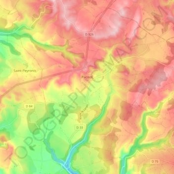
Name: Parisot topographic map, elevation, terrain.
Average elevation: 346 m
Minimum elevation: 229 m
Maximum elevation: 425 m
Other topographic maps
Click on a map to view its topography, its elevation and its terrain.
Lac de Parisot
France > Occitanie > Tarn-et-Garonne > Parisot > Ventaujols
Lac de Parisot, Ventaujols, Parisot, Montauban, Tarn-et-Garonne, Occitanie, France métropolitaine, 82160, France
Average elevation: 367 m