
Cleethorpes topographic map
Click on the map to display elevation.
About this map
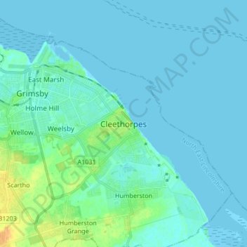
Name: Cleethorpes topographic map, elevation, terrain.
Average elevation: 4 m
Minimum elevation: -1 m
Maximum elevation: 25 m
Other topographic maps
Click on a map to view its topography, its elevation and its terrain.
Ashby cum Fenby
United Kingdom > England > North East Lincolnshire > Ashby cum Fenby
Average elevation: 35 m
New Waltham
United Kingdom > England > North East Lincolnshire > Humberston Grange
Average elevation: 13 m