
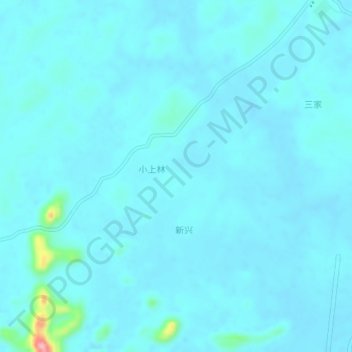
兴仁 topographic map
Interactive map
Click on the map to display elevation.
About this map
Name: 兴仁 topographic map, elevation, terrain.
Location: 兴仁, 来宾市, 广西壮族自治区, 中国 (23.54360 108.90700 23.58360 108.94700)
Average elevation: 96 m
Minimum elevation: 85 m
Maximum elevation: 218 m