
浑源县 topographic map
Interactive map
Click on the map to display elevation.
About this map
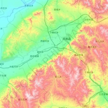
Name: 浑源县 topographic map, elevation, terrain.
Location: 浑源县, 大同市, 山西省, 中国 (39.36475 113.37194 39.87596 113.97386)
Average elevation: 1,455 m
Minimum elevation: 962 m
Maximum elevation: 2,330 m
境内有著名的北岳恒山,海拔2016米。
Other topographic maps
Click on a map to view its topography, its elevation and its terrain.