
Le Cugnot topographic map
Interactive map
Click on the map to display elevation.
About this map
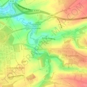
Name: Le Cugnot topographic map, elevation, terrain.
Average elevation: 223 m
Minimum elevation: 183 m
Maximum elevation: 253 m
Other topographic maps
Click on a map to view its topography, its elevation and its terrain.
Saint-Agnan
France > Grand Est > Moselle > Ogy-Montoy-Flanville
Saint-Agnan, Ogy, Ogy-Montoy-Flanville, Metz, Moselle, Grand Est, France métropolitaine, 57530, France
Average elevation: 255 m