
Perma topographic map
Interactive map
Click on the map to display elevation.
About this map
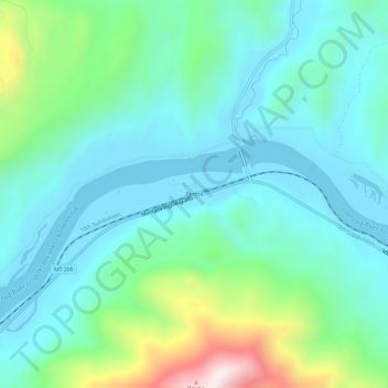
Name: Perma topographic map, elevation, terrain.
Location: Perma, Sanders County, Montana, Verenigde Staten (47.34382 -114.60485 47.38382 -114.56485)
Average elevation: 917 m
Minimum elevation: 754 m
Maximum elevation: 1,499 m