
Thank you for supporting this site ❤️
Make a donation
Make a donation
Gear up for your next adventure:
As an Amazon Associate, this site earns from qualifying purchases at no extra cost to you.
Terrin topographic map
Click on the map to display elevation.
Thank you for supporting this site ❤️
Make a donation
Make a donation
Gear up for your next adventure:
As an Amazon Associate, this site earns from qualifying purchases at no extra cost to you.
About this map
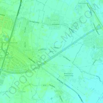
Name: Terrin topographic map, elevation, terrain.
Location: Terrin, Villatora, Saonara, Padova, Veneto, 35027, Italy (45.36547 11.96040 45.40547 12.00040)
Average elevation: 9 m
Minimum elevation: 4 m
Maximum elevation: 14 m
Thank you for supporting this site ❤️
Make a donation
Make a donation
Gear up for your next adventure:
As an Amazon Associate, this site earns from qualifying purchases at no extra cost to you.