Geolocate

Forest Park topographic map

Interactive map

Click on the map to display elevation.

About this map

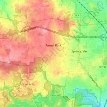
Name: Forest Park topographic map, elevation, terrain.

Location: Forest Park, Hamilton County, Ohio, United States (39.26648 -84.56454 39.30478 -84.48573)

Average elevation: 234 m

Minimum elevation: 177 m

Maximum elevation: 281 m

Other topographic maps

Click on a map to view its topography, its elevation and its terrain.

Symmes Township Park

United States > Ohio > Hamilton County > Loveland

Symmes Township Park, Loveland, Symmes Township, Hamilton County, Ohio, United States

Average elevation: 226 m

Amberley Village

United States > Ohio > Hamilton County

Amberley Village, Hamilton County, Ohio, United States

Average elevation: 226 m

Montgomery Heights

United States > Ohio > Hamilton County > Montgomery > Montgomery Heights

Montgomery Heights, Montgomery, Hamilton County, Ohio, 45242-5324, United States

Average elevation: 241 m

Northgate

United States > Ohio > Hamilton County > Northgate

Northgate, Colerain Township, Hamilton County, Ohio, United States

Average elevation: 264 m