
Vemulavalasa topographic map
Interactive map
Click on the map to display elevation.
About this map
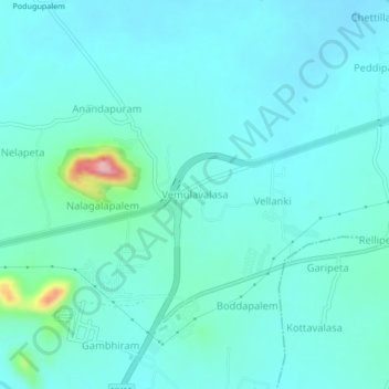
Name: Vemulavalasa topographic map, elevation, terrain.
Average elevation: 34 m
Minimum elevation: 9 m
Maximum elevation: 187 m
Other topographic maps
Click on a map to view its topography, its elevation and its terrain.
Anandapuram
India > Andhra Pradesh > Anandapuram
Anandapuram, Visakhapatnam District, Andhra Pradesh, 530052, India
Average elevation: 33 m
Gudilova
India > Andhra Pradesh > Anandapuram > Gudilova
Gudilova, Anandapuram, Visakhapatnam, Andhra Pradesh, 530052, India
Average elevation: 105 m