
Priandi topographic map
Interactive map
Click on the map to display elevation.
About this map
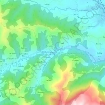
Name: Priandi topographic map, elevation, terrain.
Location: Priandi, Nava, Asturias, 33527, España (43.32523 -5.55691 43.36523 -5.51691)
Average elevation: 379 m
Minimum elevation: 247 m
Maximum elevation: 730 m
Other topographic maps
Click on a map to view its topography, its elevation and its terrain.