
Ilztal topographic map
Interactive map
Click on the map to display elevation.
About this map
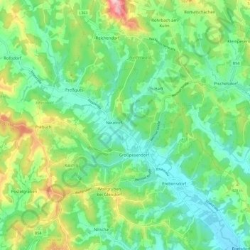
Name: Ilztal topographic map, elevation, terrain.
Location: Ilztal, Bezirk Weiz, Steiermark, 8211, Österreich (47.12167 15.71206 47.19862 15.80473)
Average elevation: 395 m
Minimum elevation: 318 m
Maximum elevation: 569 m