
Havre-Saint-Pierre topographic map
Interactive map
Click on the map to display elevation.
About this map
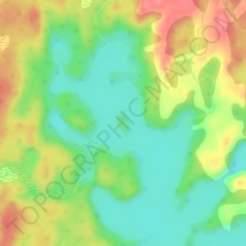
Name: Havre-Saint-Pierre topographic map, elevation, terrain.
Location: Havre-Saint-Pierre, Minganie, Côte-Nord, Québec, Canada (50.41501 -63.11399 50.41798 -63.11132)
Average elevation: 88 m
Minimum elevation: 55 m
Maximum elevation: 129 m
Other topographic maps
Click on a map to view its topography, its elevation and its terrain.
Lac des Plaines
Canada > Québec > Havre-Saint-Pierre
Lac des Plaines, Route 138 Est, Havre-Saint-Pierre, Minganie, Côte-Nord, Québec, Canada
Average elevation: 28 m