
Los Anchos topographic map
Interactive map
Click on the map to display elevation.
About this map
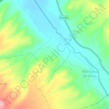
Name: Los Anchos topographic map, elevation, terrain.
Location: Los Anchos, Daroca, Zaragoza, Aragón, 50360, España (41.07001 -1.41401 41.09001 -1.39401)
Average elevation: 809 m
Minimum elevation: 754 m
Maximum elevation: 913 m