
El Cargue topographic map
Interactive map
Click on the map to display elevation.
About this map
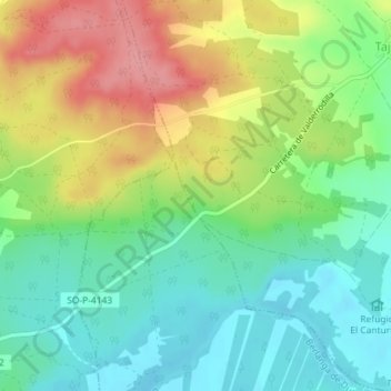
Name: El Cargue topographic map, elevation, terrain.
Location: El Cargue, Tajueco, Soria, Castilla y León, España (41.51614 -2.87739 41.53614 -2.85739)
Average elevation: 931 m
Minimum elevation: 892 m
Maximum elevation: 991 m