Geolocate

Hawk Green topographic map

Click on the map to display elevation.

About this map

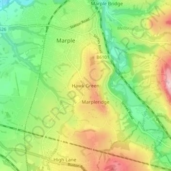
Name: Hawk Green topographic map, elevation, terrain.

Location: Hawk Green, Stockport, Greater Manchester, England, SK6 7HU, United Kingdom (53.36243 -2.08154 53.40243 -2.04154)

Average elevation: 144 m

Minimum elevation: 59 m

Maximum elevation: 263 m

Other topographic maps

Click on a map to view its topography, its elevation and its terrain.

River Mersey

United Kingdom > England > Stockport

Average elevation: 68 m

Gear up for your next adventure:

🧤Thermal Hiking Gloves - Keep your hands warm and functional during high-altitude winter treks
📷Backpack Camera Clips - Quick access to your camera while keeping your hands free for climbing
Ultralight Solo Tents - Compact shelters for multi-day topographic surveying expeditions
🏃Compression Recovery Socks - Reduce leg fatigue after heavy days of elevation gain
🕶️Polarized Outdoor Sunglasses - Reduce glare from rocks and water for better visual navigation

As an Amazon Associate, this site earns from qualifying purchases at no extra cost to you.