
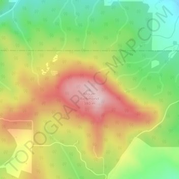
Mount Richmond topographic map
Interactive map
Click on the map to display elevation.
About this map
Name: Mount Richmond topographic map, elevation, terrain.
Location: Mount Richmond, Yamhill County, Oregon, United States (45.42784 -123.24099 45.42794 -123.24089)
Average elevation: 218 m
Minimum elevation: 67 m
Maximum elevation: 384 m