
Bandon Marsh National Wildlife Refuge topographic map
Interactive map
Click on the map to display elevation.
About this map
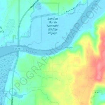
Name: Bandon Marsh National Wildlife Refuge topographic map, elevation, terrain.
Average elevation: 24 m
Minimum elevation: -3 m
Maximum elevation: 84 m