
Thank you for supporting this site ❤️
Make a donation
Make a donation
Gear up for your next adventure:
As an Amazon Associate, this site earns from qualifying purchases at no extra cost to you.
Namtar topographic map
Click on the map to display elevation.
Thank you for supporting this site ❤️
Make a donation
Make a donation
Gear up for your next adventure:
As an Amazon Associate, this site earns from qualifying purchases at no extra cost to you.
About this map
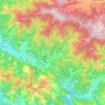
Name: Namtar topographic map, elevation, terrain.
Location: Namtar, Kailash, Makwanpur, Bagmati Pradesh, Nepal (27.51434 84.93854 27.61317 85.09492)
Average elevation: 1,408 m
Minimum elevation: 574 m
Maximum elevation: 2,554 m
Thank you for supporting this site ❤️
Make a donation
Make a donation
Gear up for your next adventure:
As an Amazon Associate, this site earns from qualifying purchases at no extra cost to you.