
Lemoore topographic map
Click on the map to display elevation.
Lemoore
Lemoore (formerly, La Tache and Lee Moore's) is a city in Kings County, California, United States. Lemoore is located 7.5 miles (12 km) west-southwest of Hanford, at an elevation of 230 feet (70 m). It is part of the Hanford-Corcoran Metropolitan Statistical Area (MSA Code 25260). The population was 24,531 at the 2010 Census. The California Department of Finance estimated that Lemoore's population was 26,725 on July 1, 2019.
About this map
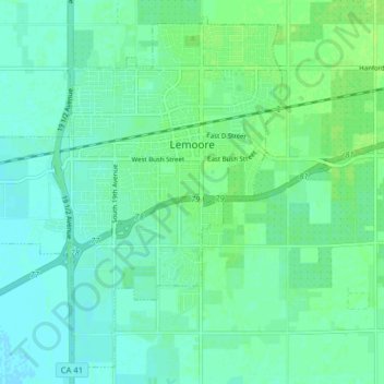
Name: Lemoore topographic map, elevation, terrain.
Location: Lemoore, Kings County, California, United States (36.26343 -119.84358 36.32195 -119.76404)
Average elevation: 66 m
Minimum elevation: 61 m
Maximum elevation: 72 m