
Wonsan topographic map
Interactive map
Click on the map to display elevation.
About this map
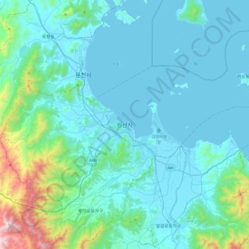
Name: Wonsan topographic map, elevation, terrain.
Location: Wonsan, Kangwon, North Korea (39.01239 127.26851 39.33239 127.58851)
Average elevation: 161 m
Minimum elevation: -1 m
Maximum elevation: 1,350 m