
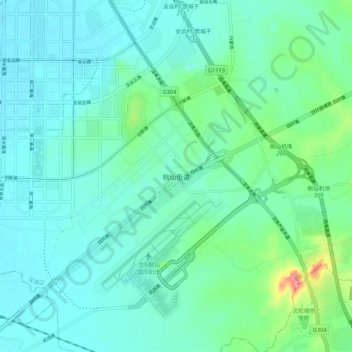
桃仙街道 topographic map
Interactive map
Click on the map to display elevation.
About this map
Name: 桃仙街道 topographic map, elevation, terrain.
Location: 桃仙街道, 浑南区, 沈阳市, Liaoning, 110169, China (41.61513 123.45186 41.69513 123.53186)
Average elevation: 61 m
Minimum elevation: 44 m
Maximum elevation: 136 m