
Rathmore topographic map
Interactive map
Click on the map to display elevation.
About this map
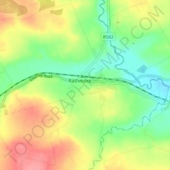
Name: Rathmore topographic map, elevation, terrain.
Location: Rathmore, County Kerry, Munster, Ireland (52.06333 -9.23667 52.10333 -9.19667)
Average elevation: 154 m
Minimum elevation: 118 m
Maximum elevation: 197 m