
Vorup topographic map
Interactive map
Click on the map to display elevation.
About this map
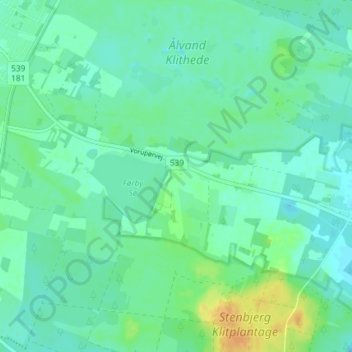
Name: Vorup topographic map, elevation, terrain.
Location: Vorup, Thisted Kommune, Noord-Jutland, Denemarken (56.91342 8.39964 56.95342 8.43964)
Average elevation: 19 m
Minimum elevation: 11 m
Maximum elevation: 38 m