
海拉尔区 topographic map
Interactive map
Click on the map to display elevation.
About this map
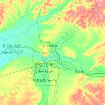
Name: 海拉尔区 topographic map, elevation, terrain.
Average elevation: 681 m
Minimum elevation: 600 m
Maximum elevation: 1,003 m
Other topographic maps
Click on a map to view its topography, its elevation and its terrain.