
Argoun topographic map
Interactive map
Click on the map to display elevation.
About this map
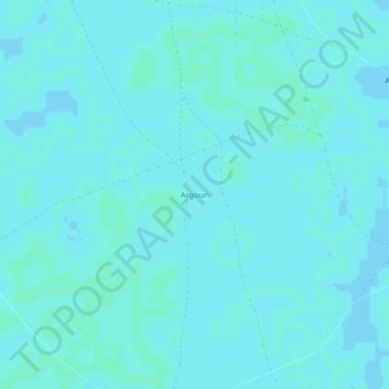
Name: Argoun topographic map, elevation, terrain.
Location: Argoun, Diffa, Niger (13.58887 12.92533 13.62887 12.96533)
Average elevation: 297 m
Minimum elevation: 295 m
Maximum elevation: 299 m
Other topographic maps
Click on a map to view its topography, its elevation and its terrain.