
DeLand topographic map
Click on the map to display elevation.
About this map
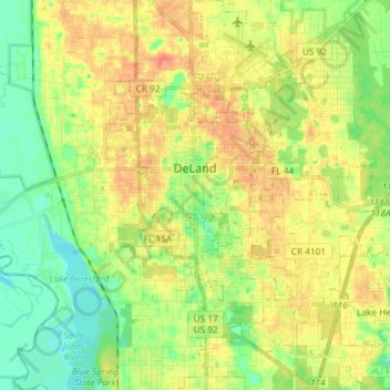
Name: DeLand topographic map, elevation, terrain.
Location: DeLand, Volusia County, Florida, 32723, United States (28.95548 -81.34314 29.08338 -81.23535)
Average elevation: 20 m
Minimum elevation: -1 m
Maximum elevation: 41 m
Other topographic maps
Click on a map to view its topography, its elevation and its terrain.