Geolocate

Bean topographic map

Click on the map to display elevation.

About this map

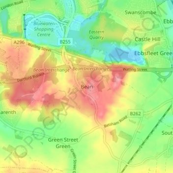
Name: Bean topographic map, elevation, terrain.

Location: Bean, Dartford, Kent, England, DA2 8BG, United Kingdom (51.40646 0.26663 51.44646 0.30663)

Average elevation: 44 m

Minimum elevation: -7 m

Maximum elevation: 95 m

Gear up for your next adventure:

🎒40L Day Hiking Backpacks - Comfortable packs with hydration support for long days exploring topographic peaks
🧣Merino Neck Gaiters - Versatile headwear for warmth, sun protection, or dust filtering
🥾Heavy Duty Hiking Boots - Ankle-supporting boots for carrying heavy packs on steep contours
🛌Sleeping Bags - Sleeping bags for outdoor camping
Ultralight Solo Tents - Compact shelters for multi-day topographic surveying expeditions

As an Amazon Associate, this site earns from qualifying purchases at no extra cost to you.