
Palmor topographic map
Interactive map
Click on the map to display elevation.
About this map
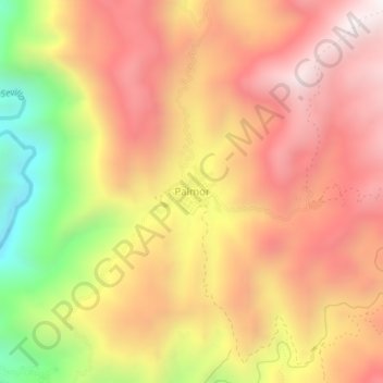
Name: Palmor topographic map, elevation, terrain.
Location: Palmor, Magdalena, Colombia (10.75028 -74.04415 10.79028 -74.00415)
Average elevation: 1,030 m
Minimum elevation: 341 m
Maximum elevation: 1,484 m