
Itteren topographic map
Interactive map
Click on the map to display elevation.
About this map
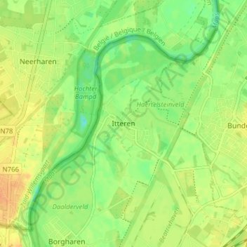
Name: Itteren topographic map, elevation, terrain.
Location: Itteren, Limburg, Nederland, 6223GN, Nederland (50.87773 5.68293 50.91773 5.72293)
Average elevation: 46 m
Minimum elevation: 29 m
Maximum elevation: 60 m